Teaching with Contemporary Art
Teaching with Mapping and Contemporary Art
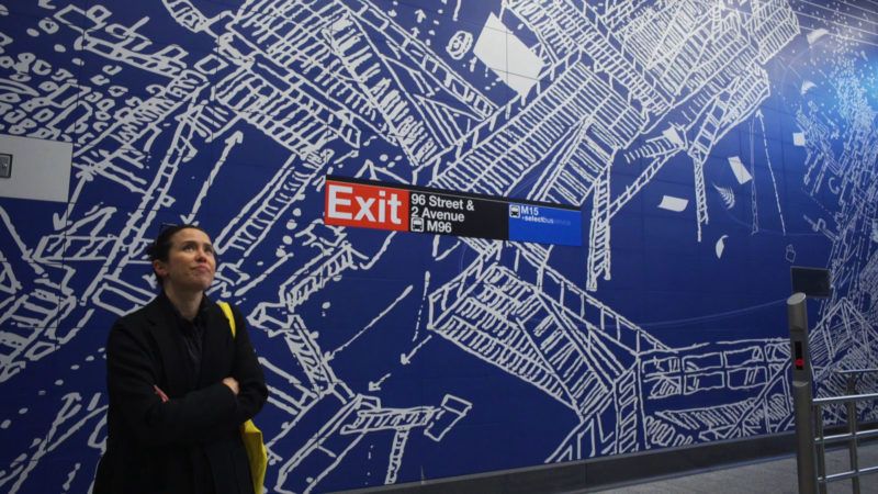
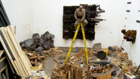
Production still from the Art21 Extended Play film, “Sarah Sze: Designing a Subway Station.” © Art21, Inc. 2017.
How do contemporary artists use maps, geography, and cartography to explore the world? How can I use these artists and their works to inspire, spark discussion and inquiry, and drive important conversations in my classroom? This is my current fascination as a K-12 art educator with a focus on elementary learners. As I started looking more deeply at contemporary artists who use maps and mapping I realized there are so many directions teachers and learners of all ages can take! In the accompanying playlist, I included artists who can reach and fascinate learners of all ages with grade level content.
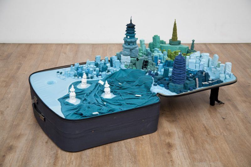
Yin Xiuzhen. “Portable City: Hangzhou,” 2011. Suitcase, clothes, magnifying glass, map, sound element; 11 × 59 13/16 × 34 5/8 in. (28 × 152 × 88 cm). © Yin Xiuzhen. Courtesy Pace Gallery.
Some big questions for our early elementary children are: “what is my place in the world?” “How can I create an imaginary country, community, or ecosystem?” and “How can we connect to each other in the world?” For our early years and younger learners, I can see Sarah Sze’s whimsical installations and sculpture, and Yin Xiuzhen’s imaginary cities inspiring mixed media projects. Imagine children wondering about Sze’s fascinating objects, what connects them together, and how they can use materials to build environments and make connections. Materials designed for tiny hands, such as pipe cleaners, beads, clay, and paper can be used to make collaborative pieces connecting our special places together through pathways. Naturally imaginative children can invent their own cities and imagined places, using felt and soft materials such as Xiuzhen’s portable cities made of used clothing. For our more tech minded children discovering Minecraft and virtual reality, Cao Fei creates new worlds in a virtual space.
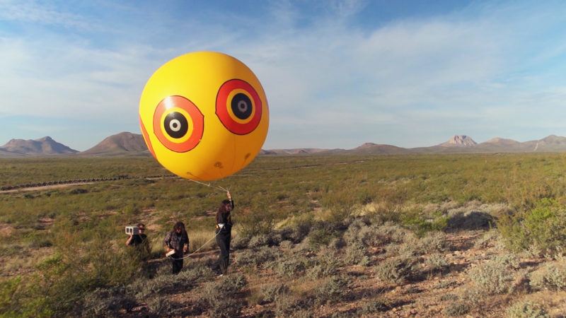
Production still from “Postcommodity in ‘Borderlands,'” an extended presentation of the artist’s segment from Art in the Twenty-First Century. © Art21, Inc. 2020.
Upper elementary and middle school learners are ready for more nuanced explorations about place, race, and larger and more powerful current events. Using Mark Bradford or Postcommodity as a starting point, students can start exploring places imbued with far more weight, tragedy, or history. As fifth graders become more aware of the big issues today, such as Black Lives Matter, the human rights issues of the border wall between the USA and Mexico, and the rights of indigenous people, they can use maps to explore the places where these conflicts take place. In turn, they can choose their own issues that they see are important, and tie them to a place in the world which they can research, investigate, and document. Additionally, I’m always excited to see students use unconventional materials to make art, such as Mark Bradford’s use of materials from Home Depot including bathroom caulk and power sanders.
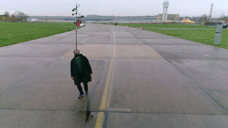
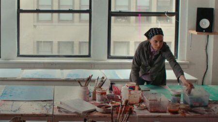
Hiwa K performs “Pre-Image (Blind as the Mother Tongue)” at Tempelhof, Berlin. Production still from the Art in the Twenty-First Century episode, “Berlin.” © Art21, Inc. 2018
In my past experience as an International Baccalaureate Diploma Program Art teacher (similar to the Advanced Placement Art program), I know our more advanced high school students are ready to tackle larger and more controversial issues with longer and more sustained investigation. Today we are faced with significant border conflicts and political geography, and maps can be a language for our upper level learners to tackle these issues. Hiwa K grapples with the state of the nationless Kurdish people, for example, and his work is a platform for learning about how geographic boundaries are in flux and highly subjective. He is a starting point for students to research and investigate how culture, geography, and politics are often in conflict, and ask the question “whose land is it anyway?”
All the films I suggest in this playlist are appropriate for our secondary artists, and my other grade level pairings are only suggestions. What I encourage is to consider how and why maps and geography are subjects of choice for these artists, how they can spark insight in your classroom, and lead to a deeper understanding of the world around them.
Watch Emily’s playlist, “Teaching with Maps”